
Search Term Record
Metadata
Name |
Aerial views |
Number of Archive records |
1 |
Number of Library records |
0 |
Related Records
-
-
-
Aerial view looking north at Alto Sutton Manor area, 1963 - Print, Photographic
MVU1393
Record Type: Photo
-
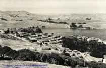
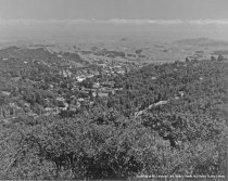
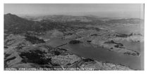
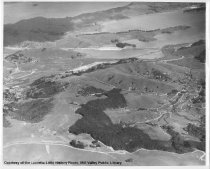
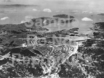
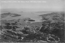
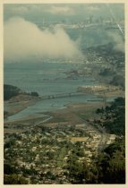
Aerial view looking toward Tiburon from Mt. Tamalpais, 1930 - Print, Photographic
MVU1897
Record Type: Photo
-
Aerial view of Blithedale Trestle and Camino Alto, circa 1950 - Print, Photographic
MVU1463
Record Type: Photo
-
-
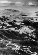
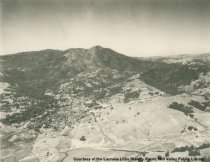
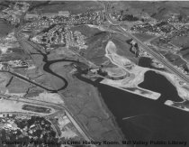
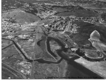
Aerial view of Double Bow Knot on Mt. Tamalpais, date unknown - Print, Photographic
MVN1452v1
Record Type: Photo
-
-
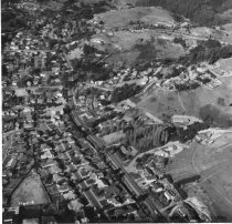
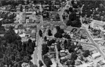
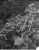
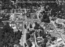
Aerial view of Lytton Square and business district, 1947 - Print, Photographic
MVU1242
Record Type: Photo
-
-
-
-
-
-
-
-
-
-
-
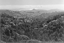
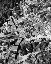
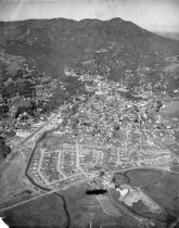
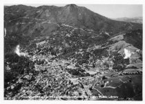
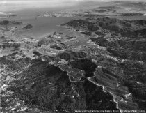
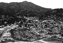
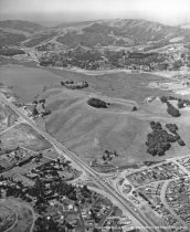
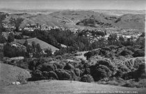
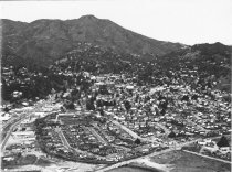
Aerial view of Mill Valley and environs, circa 1930s - Print, Photographic
MVU1097
Record Type: Photo
-
-
-
-

-
-
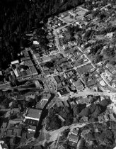
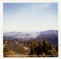
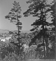
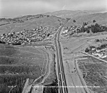
Aerial view of Mill Valley looking toward San Francisco, 1959 - Print, Photographic
MVU1750
Record Type: Photo
-
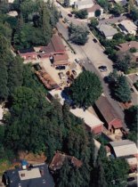
Aerial View of Mill Valley Lumber Company, date unknown - Print, Photographic
PHO0472
Record Type: Photo
-

-
-
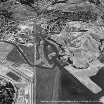
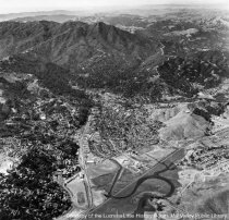
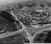
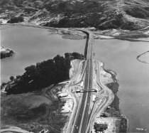
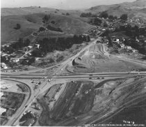
Aerial view of Mill Valley's Alto intersection, 1955 - Print, Photographic
MVN1023
Record Type: Photo
-
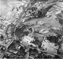
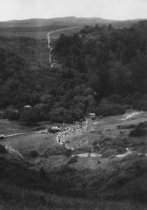
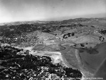
Aerial view of Mill Valley's Sycamore Park, date unknown - Print, Photographic
MVN1025
Record Type: Photo
-
-
-
-
-
-
-

-
-
-
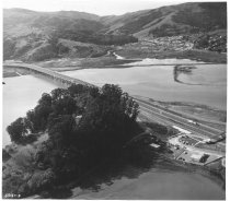
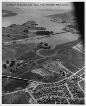
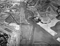
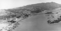
Aerial view with Richardson Bay Bridge in background, circa 1945 - Print, Photographic
MVU1899
Record Type: Photo
-
-
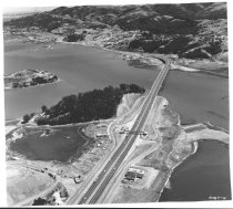
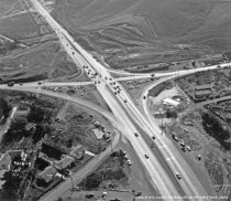
Alto intersection before overpass was built, circa 1955 - Print, Photographic
MVU3370
Record Type: Photo
-
Alto intersection before overpass was built, circa 1955 - Print, Photographic
MVU3371
Record Type: Photo
-
Alto intersection before overpass was built, circa 1955 - Print, Photographic
MVU3372
Record Type: Photo
-

-
-
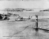
Pan American Clipper departing San Francisco for Honolulu, 1935 - Print, Photographic
MVN1621
Record Type: Photo
-
-