
Search Term Record
Metadata
Name |
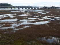
Marshlands |
Number of Archive records |
2 |
Number of Library records |
0 |
Related Records
-
-
-
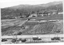
Bayfront Park and Hauke Park under construction, 1979 - Print, Photographic
MVU1044
Record Type: Photo
-
-
-
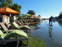
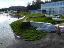
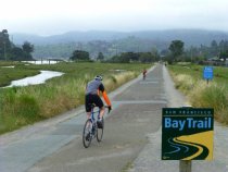
Bike rider on the Multiuse Pathway during king tide, 2012 - Image, Digital
2016.015.068
Record Type: Photo
-
-
-
-
-
-
-
-
-
-
-
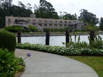
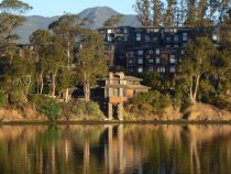
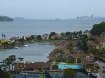
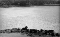
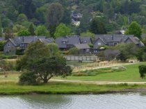
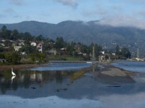
Harbor Point and Richardson Bay seen from Seminary, 2016 - Image, Digital
2016.015.064
Record Type: Photo
-
-
-
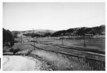
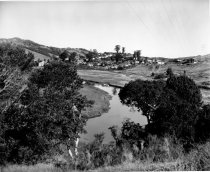
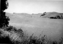
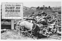
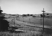
Marsh between East Blithedale Ave. and Almonte Boulevard,circa 1940s or 1950s. - Print, Photographic
MVU1405
Record Type: Photo
-
-
-
-
-
-
-
-
-
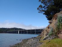
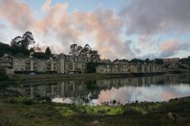
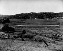
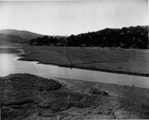
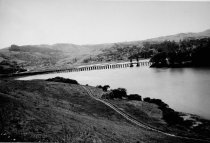
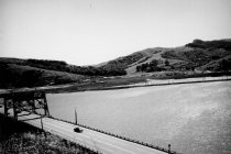
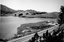
Marshlands and Richardson Bay Bridge, circa late 1930s - Print, Photographic
MVU1441
Record Type: Photo
-
-
-
-
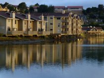
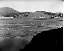
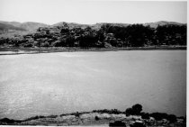
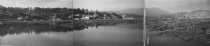
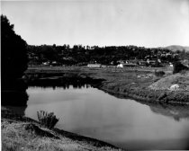
Marshlands looking west from the Richardson Bay Bridge, late 1930s - Print, Photographic
MVU1438
Record Type: Photo
-
-
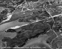
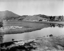
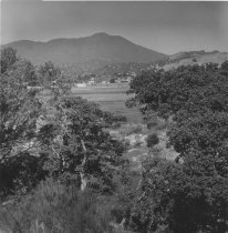
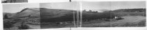
Marshlands panorama with Mt Tam in background, Nov. 1, 1952 - Print, Photographic
MVU1580
Record Type: Photo
-
-
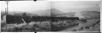
Marshland with Northwestern Pacific tracks, circa 1940s or 1950s - Print, Photographic
MVN1223
Record Type: Photo
-
-
-
-
-
Mt. Tamalpais viewed from across Coyote Creek, 2015 - Image, Digital
2016.015.001
Record Type: Photo
-
-
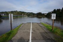
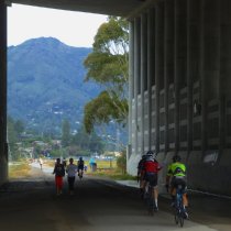
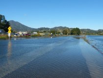
Multiuse Pathway and Miller Avenue inundated by king tide, 2012 - Image, Digital
2016.015.004
Record Type: Photo
-
-
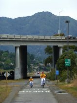
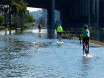
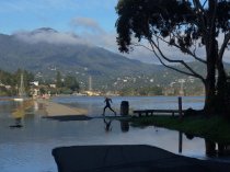
Multiuse Pathway bike riders during king tide, 2012 - Image, Digital
2016.015.006
Record Type: Photo
-
-
-
Multiuse Pathway jogger navagating the king tide, 2016 - Image, Digital
2016.015.389
Record Type: Photo
-
Multiuse Pathway near East Blithedale Avenue inundated by king tide, 2017 - Image, Digital
2016.015.441
Record Type: Photo